Streaky Bay was first sighted in 1627 by the Dutchman Peter Nuyts from the ship Golden Zeepard (see monument in the median strip of Bay Road).
Nearly two centuries later in 1802, Captain Matthew Flinders rediscovered and named Streaky Bay whilst examining the South Australian coast in the ship the Investigator.
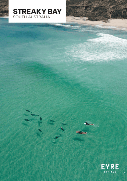
He named it because of the streaks in the water across the bay (caused by the reflection of light and seaweed).
In 1839 Edward John Eyre established a camp area about 3km from Streaky Bay, known as ‘Cooeyanna’ (Eyre’s Waterhole). He used the waterhole on his expedition to Point Bell and Albany, Western Australia, in 1840. Calpatanna Waterhole Conservation Park is nearby, 28km southeast of Streaky Bay with access off Flinders Highway.
In his travels, Eyre made contact with Aboriginal peoples in Far West including the Wirungu, the traditional custodians of the land around Streaky Bay.
In 2008 Chris Eyre, the great-great-grandson of Edward John Eyre, and a team of friends and colleagues from the United Kingdom retraced Eyre’s steps in a trek on foot from Streaky Bay to Eucla. Where possible they followed the original coastal course and made many friends along the journey.
From 1850 to 1860 a whaling station operated near Point Brown. It is believed that these whalers were the first white men to remain in the area for any length of time.
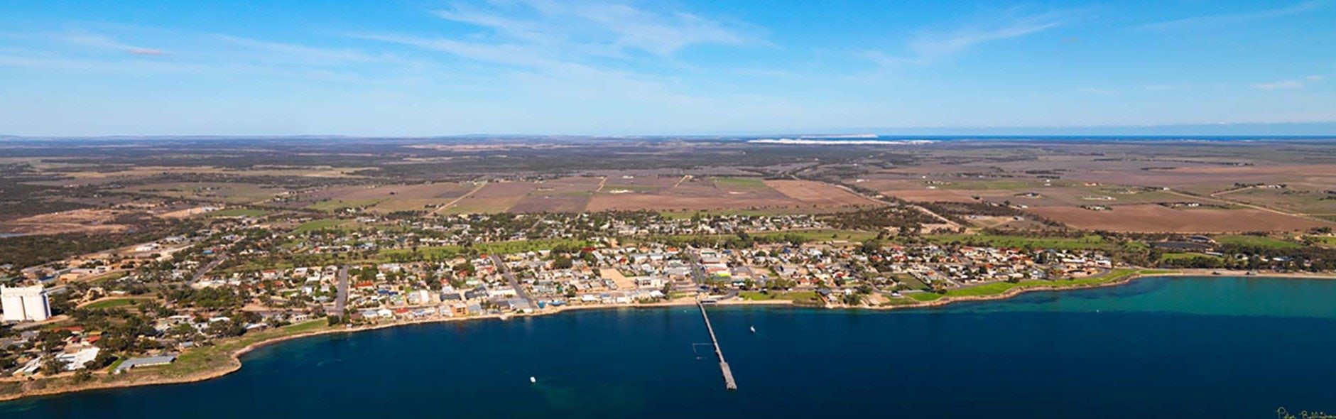
The country around Streaky Bay was opened up by pastoralists from 1854 onward, with the biggest station, Maryvale, comprising 470 square km. This run represented the pick of the grazing land, where water was available at a shallow depth. As these lands were opened up, the establishment of Streaky Bay as a township was a necessity.
In the 1870s a small oyster factory was established at Streaky Bay to can oysters for export (Smoke House Bay).
Streaky Bay was originally named Flinders, but in 1940, after continued local usage, the name of the town was officially changed to Streaky Bay.